

World Standards Day is observed every year on 14 October to recognise the importance of international standards in ensuring quality, safety, efficiency and global cooperation.

|
Aspect |
Details |
|
Observed On |
14 October |
|
First Celebrated |
1970 |
|
Historical Significance |
First meeting of delegates that led to ISO's establishment, held on 14 October 1946 |
|
Major Organisations |
ISO, IEC and ITU |
|
Main Objective |
Promote awareness of international standards |
|
India's National Standards Body |
Bureau of Indian Standards (BIS) |
|
BIS Headquarters |
New Delhi |
|
2026 Theme |
Shared vision for a better world: Spotlight on SDG 7, Affordable and Clean Energy |
Prelims MCQQ. With reference to World Standards Day, consider the following statements:
Which of the statements given above are correct? (a) 1 and 2 only (b) 2 and 3 only (c) 1 and 3 only (d) 1, 2 and 3 Mains Practice QuestionQ. Discuss the role of international standards in promoting consumer protection, industrial competitiveness and sustainable development. |
When is World Standards Day celebrated?14 October. When was World Standards Day first celebrated?In 1970. Where is the headquarters of ISO located?Geneva, Switzerland. Which organisation develops national standards in India?The Bureau of Indian Standards (BIS). What is the theme of World Standards Day 2026?Shared vision for a better world: Spotlight on SDG 7, Affordable and Clean Energy |
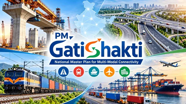
| Prelims: PM GatiShakti National Master Plan, BISAG-N, Network Planning Group, Geospatial Technology, Unified Geospatial Interface, Integrated Transport and Logistics Authority. Mains: GS Paper II – Governance, Interdepartmental Coordination and Cooperative Federalism; GS Paper III – Infrastructure, Transport Networks, Logistics and Economic Development. Keywords: PM GatiShakti five years, PM GatiShakti National Master Plan, infrastructure planning, multimodal connectivity, BISAG-N, Network Planning Group, logistics efficiency, district master plan, ITLA, Viksit Bharat 2047. |
|
Indicator |
Progress reported in October 2026 |
|
Geospatial data layers |
More than 1,800 |
|
Central Ministries/Departments covered |
58 |
|
States and Union Territories covered |
All 36 |
|
Infrastructure projects evaluated by NPG |
421 |
|
Total value of projects evaluated |
Approximately ₹20.23 lakh crore |
|
Software modules and tools |
More than 65 |
|
Mobile and web applications |
More than 100 |
The platform combines location-based information to help planners understand the relationship between existing infrastructure, proposed projects and areas requiring connectivity. Its planning applications include:
The Network Planning Group evaluates infrastructure proposals according to PM GatiShakti principles. Its evaluation framework emphasises:
The NPG provides an institutional mechanism for coordination among infrastructure agencies.
PM GatiShakti has expanded beyond major transport infrastructure to support local socio-economic planning. Its district-level applications include planning for:
This can help district administrations examine whether public facilities are accessible to the communities they serve.
The PM GatiShakti Public platform, through the Unified Geospatial Interface (UGI), was launched in September 2025. It extends selected data and analytical capabilities to private entities and the general public. Other digital systems supporting the initiative include:
|
System |
Main purpose |
|
Knowledge Management System (KMS) |
Knowledge sharing |
|
Decentralized Data Uploading and Management System (DUMS) |
Decentralised uploading and management of data |
|
PMGS-NMP Dashboard |
Infrastructure monitoring |
Public access concerns selected capabilities and should not be understood as unrestricted access to every government data layer.
|
Period |
Major developments |
|
2021–22 |
Launch and establishment of the integrated national planning framework |
|
2022–23 |
Eight key infrastructure ministries onboarded; 71 projects evaluated |
|
2023–24 |
Social-sector integration; 1,463 data layers and coverage of all 36 States/UTs |
|
2024–25 |
Economic-sector integration; District Master Plan launched; 121 projects evaluated |
|
2025–26 |
Public platform/UGI, KMS, DUMS and Dashboard launched; evaluations reached 352 projects by February 2026 |
|
2026 update |
Evaluations reached 421 projects worth approximately ₹20.23 lakh crore; ITLA approved |
These figures represent milestones reported for different periods and should not be added together as separate project totals.
These are potential benefits; their realisation depends on project execution and measurable improvements in service delivery.
The following are analytical implementation challenges, rather than findings of failure reported in the anniversary release.
PM GatiShakti’s first five years mark the expansion of a common digital planning platform into a broader system supporting infrastructure, district-level and social-sector development. Its long-term success will depend on translating coordinated planning into timely projects, efficient logistics and better access to essential services.
Prelims Practice QuestionWhich institution developed the geospatial digital platform for the PM GatiShakti National Master Plan? (a) NITI Aayog Mains Practice Question“Integrated infrastructure planning is as much a governance reform as a technological intervention.” Discuss with reference to PM GatiShakti, highlighting its achievements and implementation challenges. |
1. What is the PM GatiShakti National Master Plan?PM GatiShakti is a national framework that uses a shared geospatial digital platform to coordinate infrastructure planning across ministries, departments, States and Union Territories. 2. When was PM GatiShakti launched?It was launched in October 2021 and completed five years in October 2026. 3. What are its major achievements as of October 2026?The platform integrates more than 1,800 data layers across 58 Central Ministries/Departments and all 36 States/UTs. The NPG has evaluated 421 projects worth approximately ₹20.23 lakh crore. 4. What does the Network Planning Group do?The NPG evaluates infrastructure proposals for integrated planning, multimodal and last-mile connectivity, logistics efficiency and synchronised implementation. 5. What is the purpose of the Integrated Transport and Logistics Authority?ITLA is intended to strengthen transport and logistics research, planning, appraisal, monitoring and impact assessment, supporting better connectivity and infrastructure efficiency. |