M-STrIPES (Monitoring System for Tigers: Intensive Protection and Ecological Status) is an IT-based advanced monitoring system used in India for the protection, surveillance, and scientific management of tigers and other wildlife. Recently, forest personnel have been using the M-STrIPES application during tiger and wildlife census operations in the Anamalai Tiger Reserve.

Background of M-STrIPES
- M-STrIPES is a software-based monitoring system.
- It was launched in 2010.
- Developed by the National Tiger Conservation Authority (NTCA) in collaboration with the Wildlife Institute of India (WII).
- The system strengthens patrolling, protection, and conservation in tiger reserves.
Key Objectives of M-STrIPES
- Effective monitoring of tigers and other wildlife
- Control over illegal activities in protected areas
- Data-driven decision-making for wildlife conservation
- Enhancing efficiency and transparency in reserve management
Components of the M-STrIPES System
M-STrIPES consists of two major components:
1. Central Desktop Software
- Centralized data collection and analysis
- Use of GIS and statistical tools
- Online analytical tools and engines
2. Android-Based Mobile Application
- Real-time GPS tracking
- Field-based observations and reporting
- Data recording during patrols
Technologies Used
M-STrIPES is based on the following modern technologies:
- GPS (Global Positioning System)
- GPRS (General Packet Radio Service)
- Remote Sensing
- GIS (Geographical Information System)
Working Mechanism of M-STrIPES
- Each forest guard conducts regular patrols within their beat area.
- During patrols, the guard:
- Records routes and footprints using GPS.
- Documents sightings of wildlife, signs of poaching, and illegal activities.
- All information is stored in a digital database.
- GIS and statistical analysis are used to generate insights.
- This supports better planning and resource management for tiger reserve authorities.
Important Fact: In India, the smallest administrative unit of forest management is the “Beat”, generally managed by a Forest Guard.
Anamalai Tiger Reserve
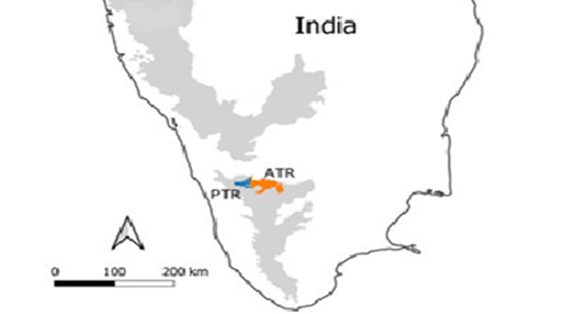
Geographical Location
- Located in the Anamalai Hills
- Situated in the southern Western Ghats, south of the Palakkad Gap
- Adjacent protected areas:
- East – Parambikulam Tiger Reserve
- South-West – Chinnar Wildlife Sanctuary
- Nearby – Eravikulam National Park
Indigenous Tribal Communities
The reserve is inhabited by six indigenous communities:
- Kadar,Mudugar,Malasar,Malai Malasar,Eravallar and Pulayar
Flora (Vegetation)
The reserve supports diverse forest types:
- Tropical evergreen forests,Semi-evergreen forests,Moist deciduous forests,Dry deciduous forests,Dry thorn forests, Shola forests
Other distinctive habitats include:
- Montane grasslands
- Savannas
- Marshy grasslands
The region is rich in wild relatives of agricultural crops, such as:
- Mango, jackfruit, wild banana
- Ginger, turmeric
- Black pepper, cardamom
Fauna (Wildlife)
Major wildlife species found in Anamalai Tiger Reserve include:
- Tiger,Asian Elephant,Leopard,Sambar,Spotted Deer (Chital),Barking Deer,Jackal,Jungle Cat


 Contact Us
  New Batch : 9555124124/ 7428085757
  Tech Support : 9555124124/ 7428085757