Prelims : Geography + Environment + CA
Mains : GS Paper 3 – Infrastructure, Environment, Sustainable Development; GS Paper 1 – Distribution of Resources |
Why in News ?
The draft master plan for the development of Great Nicobar Island has identified tourism as the primary growth driver for the island’s future development.
The plan is part of a mega infrastructure project aimed at transforming the island into an economic, strategic, and tourism hub.
Background and Context
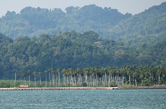
Great Nicobar Island is India’s southernmost island, located in the Bay of Bengal and part of the Nicobar group.
The proposed development project, with an estimated cost of around ₹81,000 crore, includes:
- International airport
- Transshipment port
- Power infrastructure
- Greenfield coastal city
The plan aligns with India’s long-term vision of enhancing its strategic and economic presence in the Indo-Pacific region.
Key Features of the Draft Master Plan
1. Tourism as the Primary Growth Driver
The master plan identifies tourism and entertainment as the backbone of economic growth.
Key proposals include :
- Resort clusters and beachfront tourism
- Eco-tourism trails and wellness retreats
- Gaming and entertainment hubs
Tourist inflow is projected to increase significantly, reaching over 7 lakh visitors by 2047.
2. Development of a Greenfield Coastal City
- A new urban corridor stretching about 35 km along the eastern coast is proposed
- Land use includes :
- Hotels, retail, and offices
- Residential zones
- Parks and open spaces
This integrated township will form the core of economic activity.
3. Multi-Sector Infrastructure Development
Key components :
- International airport
- Galathea Bay transshipment port
- Renewable and gas-based power plants
- Defence infrastructure
These aim to transform the island into a logistics, tourism, and strategic hub.
4. Cluster-Based Development Model
The plan divides the region into :
- Tourism and entertainment cluster
- Administrative and institutional cluster
- Agro and seafood processing cluster
- Special zones for defence and future expansion
5. Environmental Safeguards
- Around 66 sq km designated as no-felling zone
- Conservation of agricultural land
- Promotion of eco-tourism and sustainable practices
However, significant forest diversion is still involved.
Significance of the Project
1. Economic Development
- Boosts tourism-led growth
- Generates employment and investment
- Promotes regional development in remote island areas
2. Strategic Importance
- Enhances India’s presence near key maritime routes like the Strait of Malacca
- Strengthens defence and maritime security
3. Infrastructure Expansion
- Improves connectivity through air and sea
- Supports trade via transshipment hub
4. Promotion of Blue Economy
- Encourages sustainable utilisation of marine resources
- Integrates tourism, fisheries, and coastal development
Concerns and Challenges
1. Environmental Impact
- Large-scale deforestation and habitat loss
- Threat to biodiversity, including endemic species
- Impact on coastal and marine ecosystems
2. Tribal Rights and Livelihoods
- Indigenous communities like the Shompen and Nicobarese may be affected
- Risk of displacement and cultural disruption
3. Disaster Vulnerability
- Region lies in a seismically active zone prone to earthquakes and tsunamis
4. Sustainability Concerns
- Balancing economic growth with ecological preservation remains a key challenge
Way Forward
- Adopt a sustainable tourism model with strict environmental safeguards
- Ensure free, prior, and informed consent of tribal communities
- Strengthen environmental impact assessments and monitoring
- Promote eco-sensitive infrastructure development
- Integrate disaster-resilient planning
Practice Questions
Prelims
Q. Great Nicobar Island is located in :
(a) Arabian Sea
(b) Bay of Bengal
(c) Indian Ocean near Lakshadweep
(d) Gulf of Mannar
Mains
“Tourism-led development in ecologically sensitive regions presents both opportunities and challenges.” Discuss in the context of the Great Nicobar Island project.
FAQs
Q1. Where is Great Nicobar Island located ?
In the Bay of Bengal, part of the Andaman and Nicobar Islands.
Q2. What is the main objective of the master plan ?
To develop the island as a tourism, logistics, and strategic hub.
Q3. Why is tourism important in the plan ?
It is identified as the primary driver of economic growth.
Q4. What are the major concerns ?
Environmental damage and impact on indigenous communities.
Q5. Why is the project strategically important ?
Due to its proximity to major international shipping routes.
|


 Contact Us
  New Batch : 9555124124/ 7428085757
  Tech Support : 9555124124/ 7428085757